Single Beam
Single-beam bathymetric surveys are the simplest forms of hydrographic surveys. They involve the use of a single, powerful beam of sound that is transmitted straight down into the water column. This sound is then reflected back up to the surface, where it is recorded by the survey vessel’s transducer. By measuring the time it takes for the sound to travel from the surface to the bottom of the water column, and back again, the surveyors can get an accurate measurement of the depth of the water column. This data can then be used to create bathymetric maps.
Importance
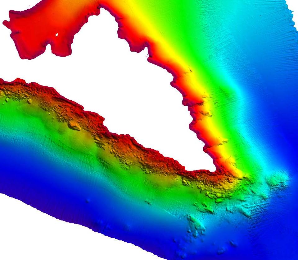
Single-beam hydrographic surveys are an important tool for bathymetric survey solutions as they provide an efficient, cost-effective way to accurately record the depth of the seafloor and other underwater features. This type of survey uses a single-beam echo sounder, which sends out an acoustic signal and records the reflected signal to determine the depth of the seafloor. This method is often used to map areas that are too shallow for multibeam surveys, as well as to create an initial map of an area before a more detailed survey is conducted. Single beam surveys are also useful in areas where the terrain is complex or the water clarity is low and multibeam surveys are not feasible. The data collected during single-beam surveys can also be used to create bathymetric charts which are used by mariners and other users of the seafloor.
Use Case
Single Beam in Hydrographic Surveys is a bathymetric survey solution used to measure the depth of water bodies. The single-beam technique uses a single acoustic pulse from the survey vessel to measure the depth of the water below the vessel. The time it takes for the acoustic pulse to reach the bottom of the water body and return to the vessel is recorded and used to calculate the depth. This technique is commonly used to survey shallow areas and to create bathymetric and navigational charts. The data collected with the single-beam technique can also be used to identify hazards to navigation, such as sandbars, rocks, and other structures near the surface.