need with our intelligent geospatial solution.
The World
We see a Solution
and get the most accurate data for your next project.
hydrography data for industries
Discover the world with our intelligent geospatial solution.
Welcome to IGS Network.
We specialize in providing comprehensive surveying and mapping services to meet the needs of our clients. Our services include hydrographic surveys, land survey, topographic mapping, boundary surveys, geological and geophysical mapping, and much more. We strive to provide the highest quality services while utilizing the latest technologies to ensure accuracy and efficiency. We are committed to providing our clients with timely and cost-effective solutions that meet their specific needs. Thank you for considering us for your surveying and mapping needs.
We specialize in providing comprehensive surveying and mapping services to meet the needs of our clients. Our services include hydrographic surveys, land survey, topographic mapping, boundary surveys, geological and geophysical mapping, and much more. We strive to provide the highest quality services while utilizing the latest technologies to ensure accuracy and efficiency. We are committed to providing our clients with timely and cost-effective solutions that meet their specific needs. Thank you for considering us for your surveying and mapping needs.
Industry Services
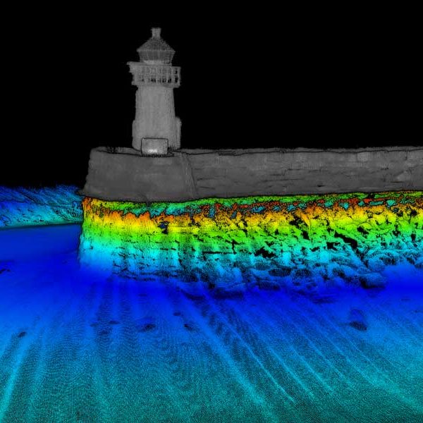
High-Resolution Multibeam
High-Resolution Multibeam or HRMB is a bathymetric survey solution that
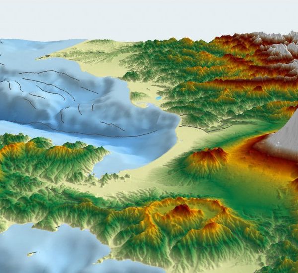
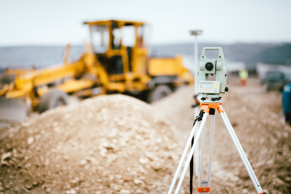
Setting Out and Monitoring Survey
Setting out and monitoring surveys can be used to identify

Drone Survey / Aerial Photogrammetry
Geospatial mapping technique used to create highly accurate and detailed
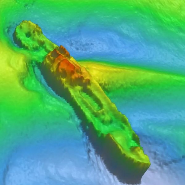
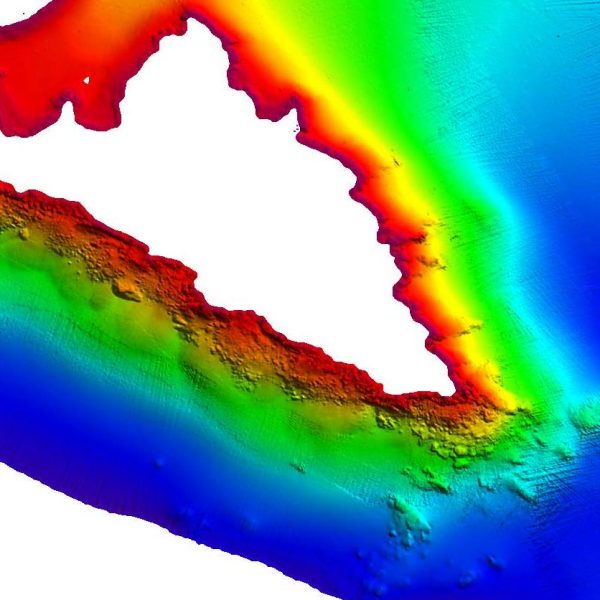

High-Resolution Multibeam
High-Resolution Multibeam or HRMB is a bathymetric survey solution that

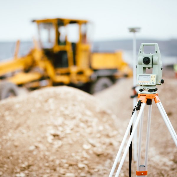
Setting Out and Monitoring Survey
Setting out and monitoring surveys can be used to identify

Drone Survey / Aerial Photogrammetry
Geospatial mapping technique used to create highly accurate and detailed


High-Resolution Multibeam
High-Resolution Multibeam or HRMB is a bathymetric survey solution that

Setting Out and Monitoring Survey
Setting out and monitoring surveys can be used to identify
84000
Projects completed successfully
84000
Clients are happy and satisfied
