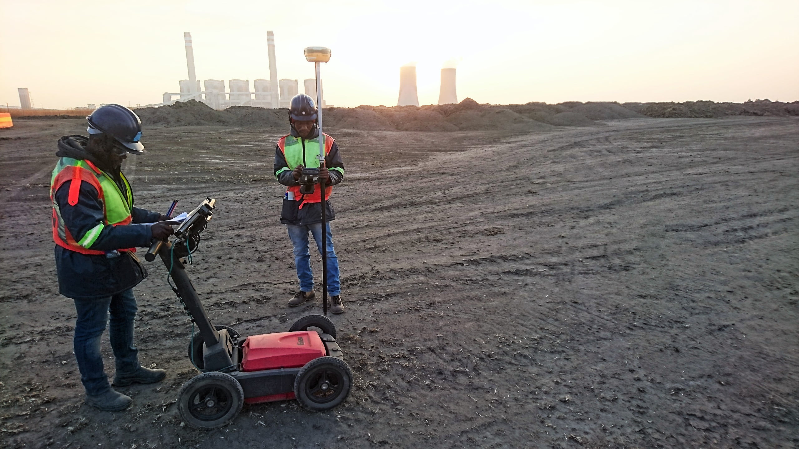
Utility Survey and Detection
A Utility Survey and Detection in geospatial and mapping works is the process of locating and mapping underground utilities such as water, gas, power, sewer and other infrastructure. This process typically involves a combination of ground-based survey techniques, aerial mapping and underground mapping technologies such as ground penetrating radar (GPR) and electromagnetic (EM) detectors. The resulting data is used to create maps that show the location and depth of existing utilities. Additionally, the data can be used to create 3D models and visualizations that help to plan future construction and maintenance.
Importance
Utility survey and detection is an important part of geospatial and mapping works because it is necessary to be able to accurately map and identify existing utility lines, such as power lines, water lines, sewer lines, and gas lines. Utility surveys provide critical information for finding and avoiding conflicts between utility lines and other planned construction projects. They also help to ensure that existing infrastructure is not damaged during the construction process. Utility detection is also important for planning when considering where to place new utility lines. Utility detection can also be used to identify any existing underground utility lines that need to be taken into consideration when planning a new project.
Use Case
A utility survey and detection example in geospatial and mapping works involves leveraging GIS (geographic information systems) and drone technology to identify various types of utility infrastructure. This could include power lines, telephone lines, fiber optic cables, water pipes, and sewage lines. The process typically begins with a drone equipped with sensors and cameras that are flown over the area to be surveyed. The data collected by the drone can then be used to create 3D models of the infrastructure, providing detailed information on the exact location and orientation of each item. This information can then be used to create accurate maps of the utility infrastructure in the area, which can be used for planning, maintenance, and emergency response.