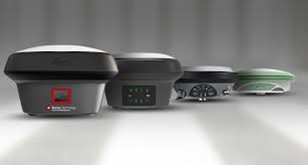
GNSS Receivers are the core product for satellite positioning. They convert signals from visible satellites into a position on earth.
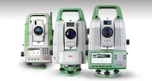
Total Stations
Receive data output in any format from our rugged total stations with accurate angle measurements, quadruple axis compensation and powerful reflector less EDM.
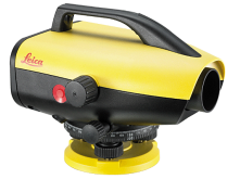
Levels
Easy-to-use electronic level with digital height reading. Automated functions and industry-leading accuracy allow users to easily demonstrate their measuring skills while effectively completing any project.
Laser Disto Meter
Outdoor LDM with point finder, Bluetooth, and touchscreen. It can measure the distance between multiple points from one location. It has a Smart Base for even more measuring options and functions.
Toughbook
Groundbreaking modular fully-rugged tablet 2-in-1 offering the ultimate computing experience
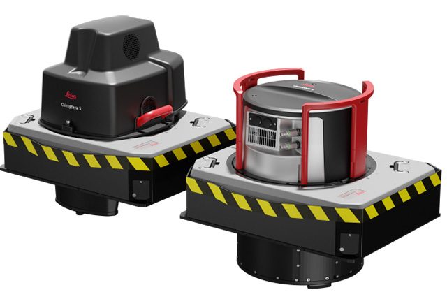
Detection Systems
Detect and identify utilities on site with ground-penetrating radar technology. Cable locators help you easily avoid buried cables and pipes before excavation work
Bathymetric LiDAR Sensors
Superior point density and depth penetration for coastal and inland water surveys
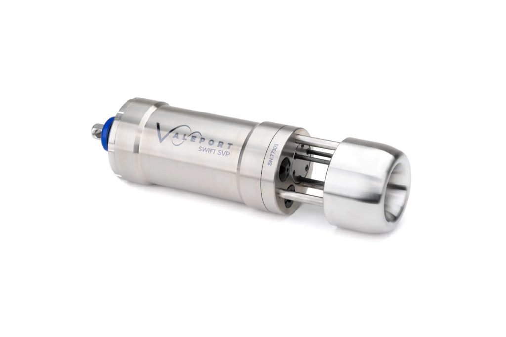
SWiFT SVP
Designed for coastal, harbour and inland hydrographic survey use, the SWiFT SVP makes a seamless workflow a reality in a compact, robust and portable package.
Hydrography
Specialists in hydrographic survey equipment, we offer an extensive product portfolio to assist with various subsea survey operations. Our products are available for rental and sale, from various locations across the globe.
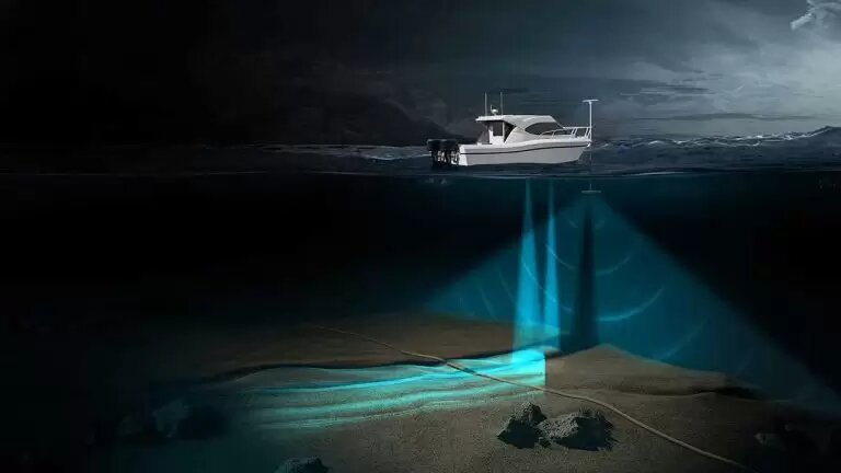
Multibeam Echosounders
Singlebeam Echosounders
Sound Velocity Sensors
Tide Gauges
Subsea Positioning
Our extensive range of subsea positioning equipment supports all aspects of offshore operations, to provide high accuracy for survey and construction projects. For the marine market, our track record encompasses operations in ports and harbours, offshore renewables, cable installation and civil construction.
Doppler Velocity Logs (DVLs)
Long Baseline Systems (LBLs)
Motion Sensors
USBL Acoustic Transponders
Ultra Short Baseline Positioning Systems (USBLs)
Underwater Gyrocompasses and Inertial
Navigation Sensors (INS)
Need a quality Hydrographic And Land Survey & Mapping Solutions