Setting Out and Monitoring Survey
Setting out and Monitoring Survey is a process used in geospatial and mapping works where an area is surveyed, measured, and mapped in order to not only determine the exact location of features but also to measure and monitor changes in the environment over time. This includes recording the shape, size, and orientation of features, as well as their elevation and any other relevant attributes. The data gathered is used for a variety of purposes, such as engineering and construction projects, environmental impact studies, and landscaping or planning applications.
Importance
Setting out and monitoring surveys are essential components of any geospatial and mapping work. Setting out involves the precise placement of survey markers (such as monuments or pins) at predetermined points on the earth’s surface. Monitoring surveys are used to track changes in the environment, such as land use, land cover, topography, or soil composition over time.
Accurate and precise setting out and monitoring surveys are essential for ensuring the accuracy of maps and other geospatial products. Without a precise survey, the data collected may not accurately represent the area being surveyed, resulting in misleading or incomplete information.
Moreover, setting out and monitoring surveys are necessary for the proper execution of any geospatial or mapping project. When a survey is conducted, the exact coordinates of each marker are recorded and used to map the area. This data is then used to create maps, as well as to develop other geospatial products, such as 3D models.
Finally, setting out and monitoring surveys are used to ensure the safety of surveyors and other personnel on the job. By precisely marking the survey area, surveyors can avoid hazards and ensure that their work is conducted in a safe and responsible manner.
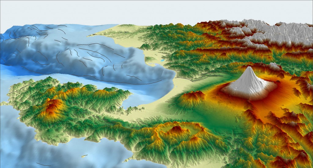
Use Case
Setting Out and Monitoring Surveys in geospatial and mapping works can be used to provide accurate data for mapping and analysis of terrain, property boundaries, and land use changes over time. This is especially important for large-scale projects, such as urban development and infrastructure planning. Setting out and monitoring surveys can be used to identify and record the exact locations of features in the landscape, including roads, buildings, rivers, and other landmarks. This data can then be used to create detailed 3D maps of the area, and to accurately measure distances between points. Monitoring surveys can be used to track and measure changes in the landscape over time, allowing for detailed analysis and evaluation of land use changes. This can be especially helpful in areas where land use is rapidly changing, such as urban areas, or areas affected by climate change.