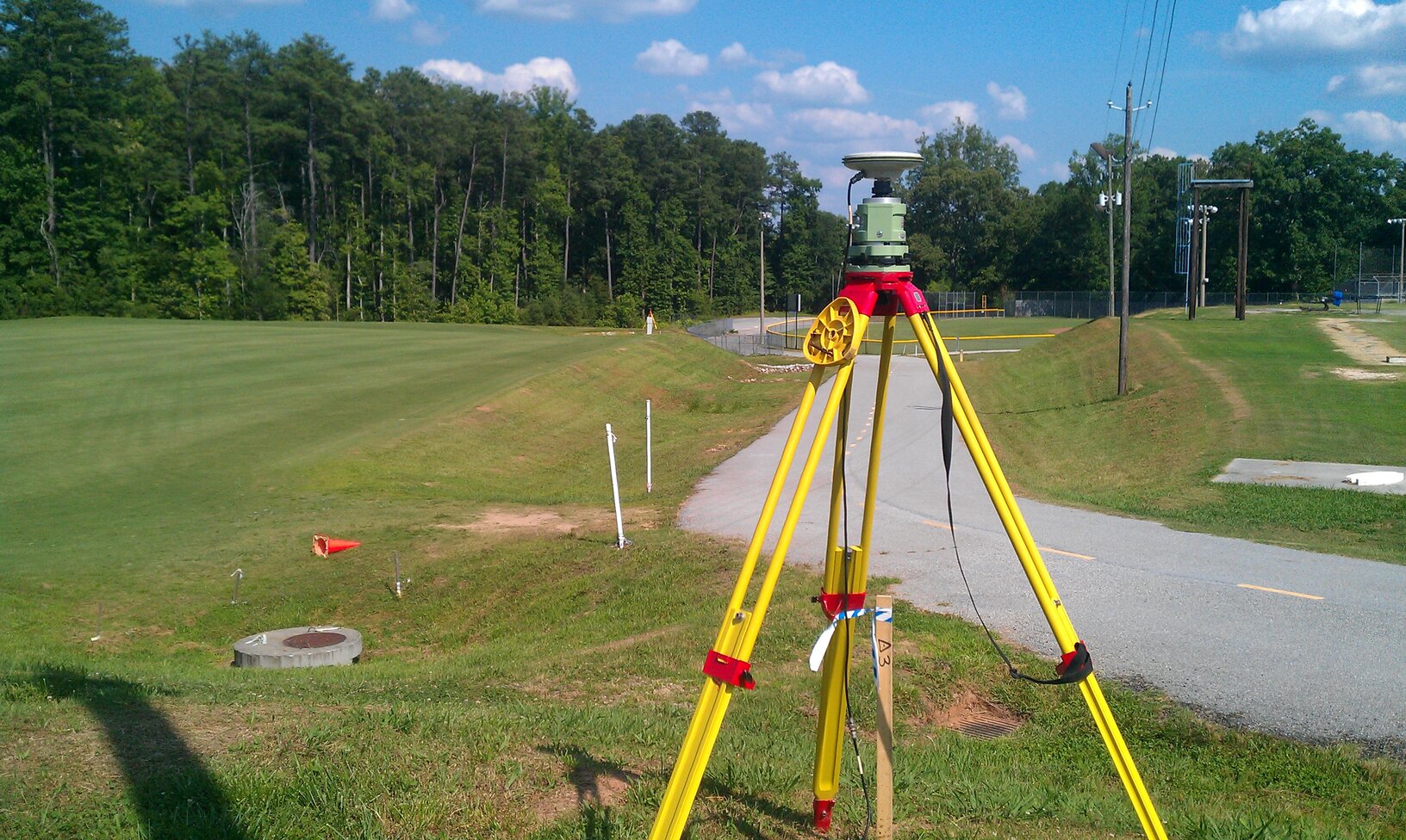
GPS Observation
GPS Observation is the process of collecting and recording data from Global Positioning System (GPS) satellites to determine the exact location of an object. This data can then be used to create maps and navigation systems, track the movements of vehicles or people, and measure distances and speeds. GPS Observations can be used for a wide range of activities, from military and law enforcement operations to recreational activities such as hiking, biking and geocaching.
Importance
GPS (Global Positioning System) observations are important for a variety of applications. They allow us to accurately measure and monitor the relative position of objects on the Earth’s surface. GPS observations are most commonly used for navigation, surveying, mapping, and tracking. GPS observations can also be used for precise timing applications such as synchronizing clocks, and for meteorological and geological research. Furthermore, GPS observations are used to provide precise positioning for emergency responders and military personnel. Finally, GPS observations are also important for positioning and tracking satellites, aircraft, and other space vehicles.
Use Case
A GPS Observation is a method of collecting data about a geographic location by using a GPS device. This data can be used for a variety of purposes, such as tracking the movement of a person or vehicle, calculating the distance between two points, or creating detailed maps of an area. It can also be used to help with navigation, as GPS coordinates can be used to determine the most efficient route to a destination.