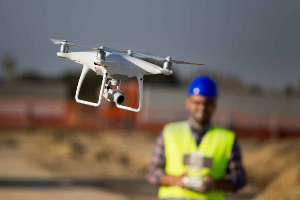
Drone Survey / Aerial Photogrammetry
Drone Survey / Aerial Photogrammetry is a geospatial mapping technique used to create highly accurate and detailed three-dimensional maps from aerial photos taken from a drone. The drone captures hundreds of overlapping images from various angles and heights, which are then processed and stitched together to generate a detailed 3D map. This technique is used for a variety of mapping scenarios, such as land surveying, monitoring construction progress, and creating digital elevation models.
Importance
Drone surveys and aerial photogrammetry are becoming increasingly important tools in geospatial and mapping works. They allow for the collection of high-resolution imagery and data quickly and at a relatively low cost. This data can then be used to create accurate and detailed maps, 3D models, and other geospatial products. Drone surveys and aerial photogrammetry are particularly useful for creating detailed topographic maps of large areas and for surveying hard-to-access areas that would normally be difficult or dangerous to reach. They can also be used to map large infrastructure projects, monitor changes in landscapes over time, and create 3D visualizations of landscapes. In addition, drone surveys and aerial photogrammetry can be used to capture information that is not visible to the naked eye, such as thermal imagery, which can be used to identify areas of heat loss or gain. In summary, drone surveys and aerial photogrammetry are invaluable tools for geospatial and mapping works, providing detailed and accurate data for a wide range of uses.
Use Case
A Drone Survey or Aerial Photogrammetry is the process of taking aerial photographs or images from a drone, and then using the data gathered to create accurate maps and 3D models. This data can be used for a variety of geospatial and mapping works, such as visualizing land cover and land use changes, assessing crop health, identifying infrastructure damage, and creating construction progress reports. Drone Surveys and Aerial Photogrammetry can also be used to create high-resolution orthomosaic maps, digital elevation models, and 3D models, making them essential tools for any geospatial or mapping project.