
Side Scan Sonar
Side Scan Sonar is a type of sonar technology used in hydrographic surveys to map
Single Beam
Single Beam in Hydrographic Surveys is a bathymetric survey solution used to measure the depth
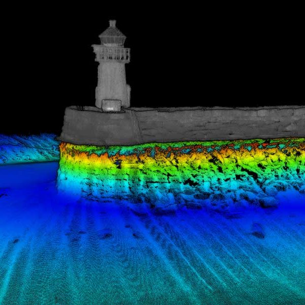
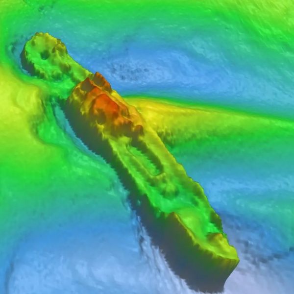
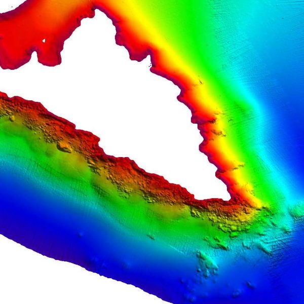
High-Resolution Multibeam
High-Resolution Multibeam or HRMB is a bathymetric survey solution that uses a multi-beam echosounder to
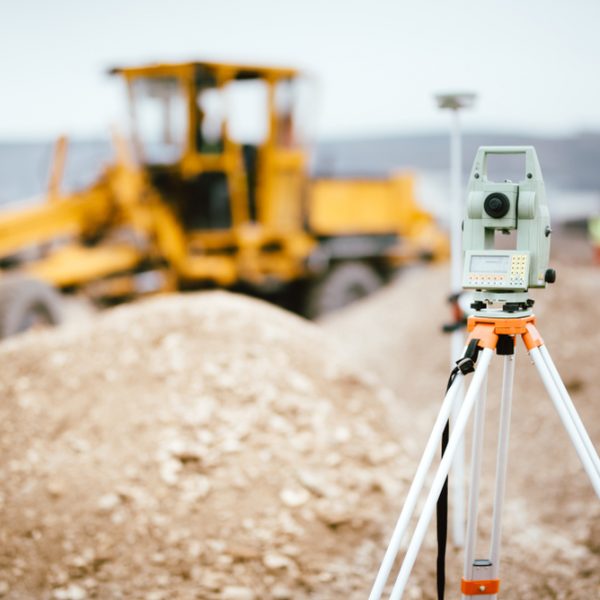
Setting Out and Monitoring Survey
Setting out and monitoring surveys can be used to identify and record the exact locations

Drone Survey / Aerial Photogrammetry
Geospatial mapping technique used to create highly accurate and detailed three-dimensional maps from aerial photos
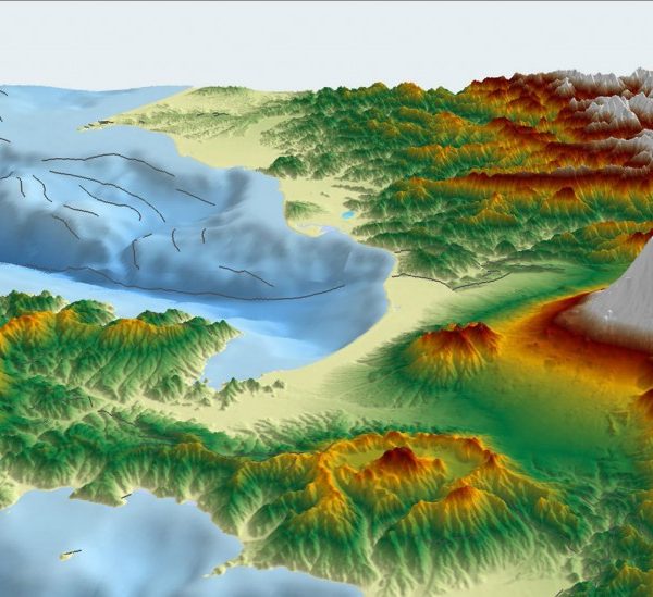
Topographical Survey
Topographical surveys are used to create detailed and accurate maps of the land and its

Cadastral Survey
The Cadastral Survey is an essential part of the land information management system. It is
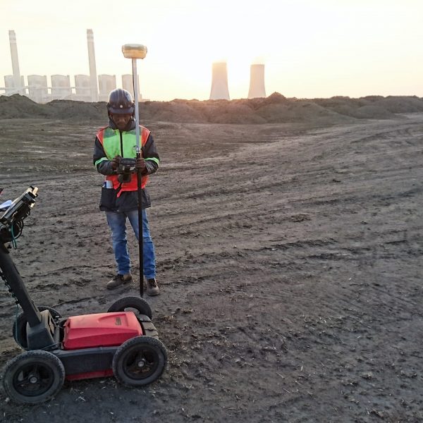
Utility Survey and Detection
Utility survey and detection is an important part of geospatial and mapping works because it