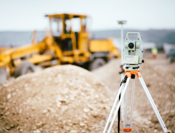
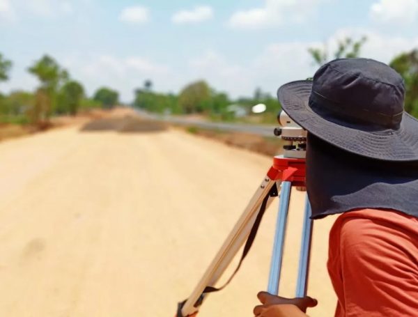
Setting Out and Monitoring Survey
Setting out and monitoring surveys can be used to identify and record the exact locations of features in the landscape,

Drone Survey / Aerial Photogrammetry
Geospatial mapping technique used to create highly accurate and detailed three-dimensional maps from aerial photos taken from a drone.
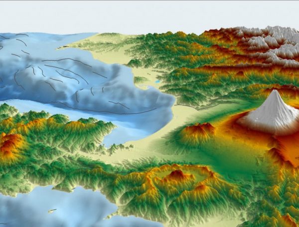
Topographical Survey
Topographical surveys are used to create detailed and accurate maps of the land and its features. This data is used

Cadastral Survey
The Cadastral Survey is an essential part of the land information management system. It is the process of recording, measuring
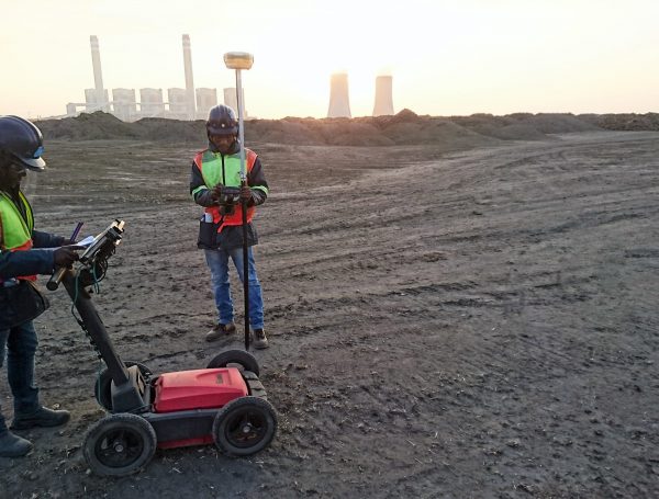
Utility Survey and Detection
Utility survey and detection is an important part of geospatial and mapping works because it is necessary to be able
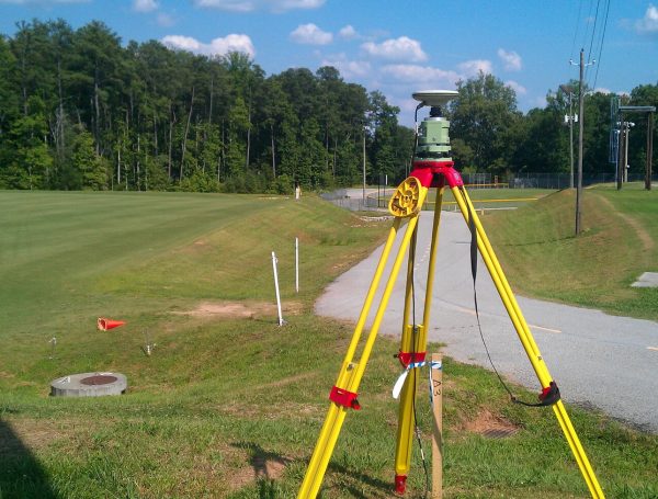
GPS Observation
GPS Observation is a process of determining the location of an object or person using the Global Positioning System (GPS).
Demarcation Survey
A Demarcation Survey is a survey of a property boundary which is conducted to accurately define and measure the boundary